Geography, Topography & Climate
An exhaustive analysis of Tayrona's unique microclimates, topographical gradients, and seasonal weather patterns.
A Dramatic Intersection: Mountains Meet the Sea
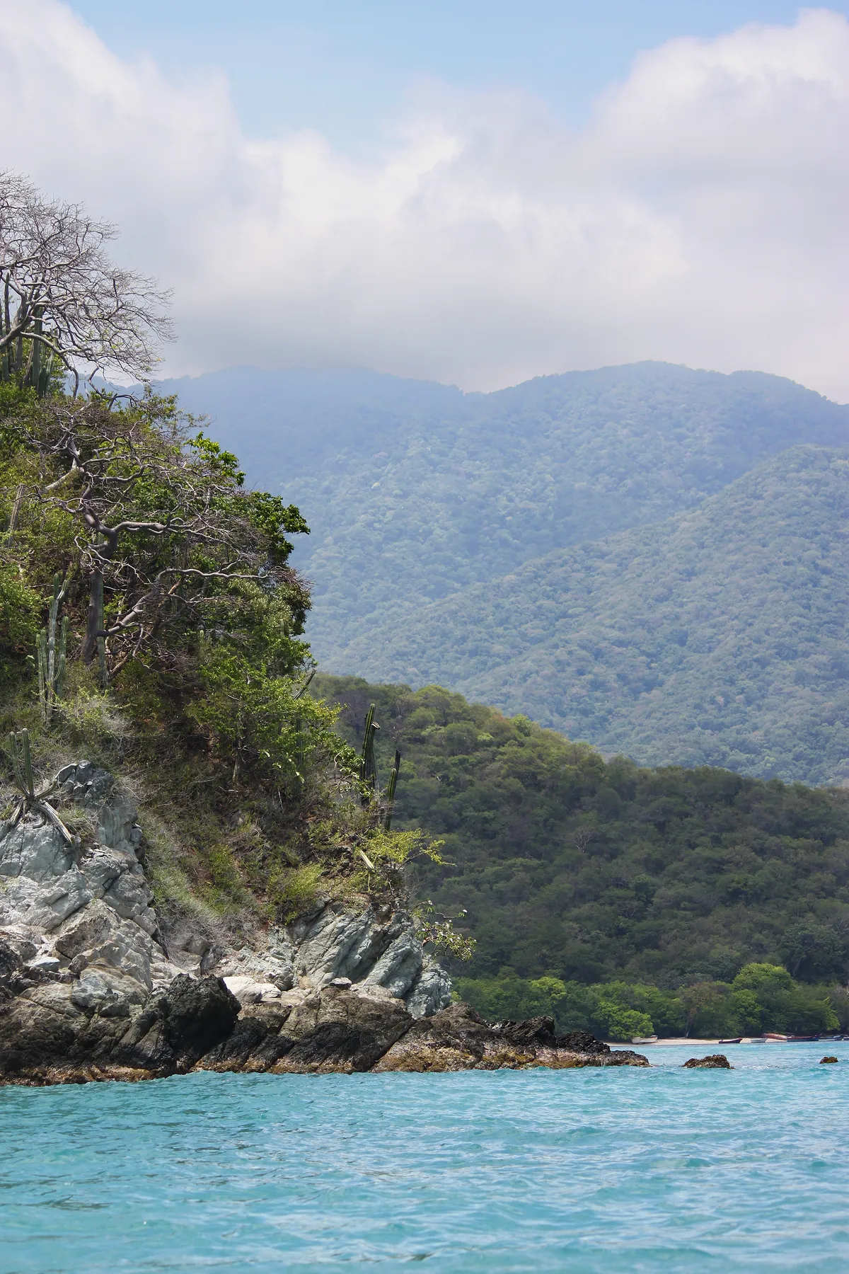
Parque Tayrona represents a geographical anomaly of international significance. It sits on the northern slopes of the Sierra Nevada de Santa Marta, which is the highest coastal mountain range on Earth. The mountains rise directly from the warm waters of the Caribbean Sea, climbing from sea level to snowy peaks reaching 5,775 meters (18,947 feet) in just 42 kilometers. The national park itself covers approximately 15,000 hectares of land and 4,500 hectares of marine sanctuary.
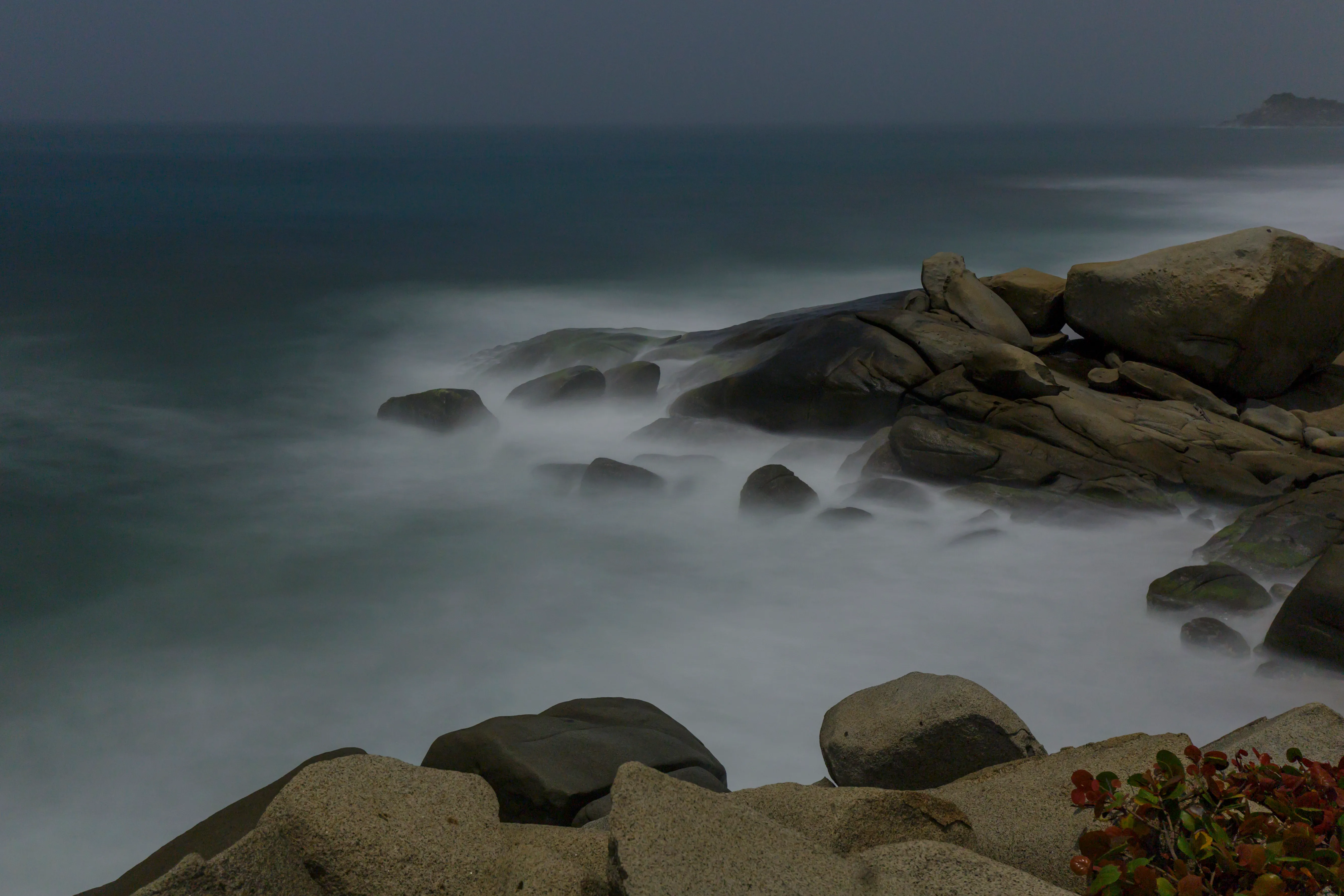
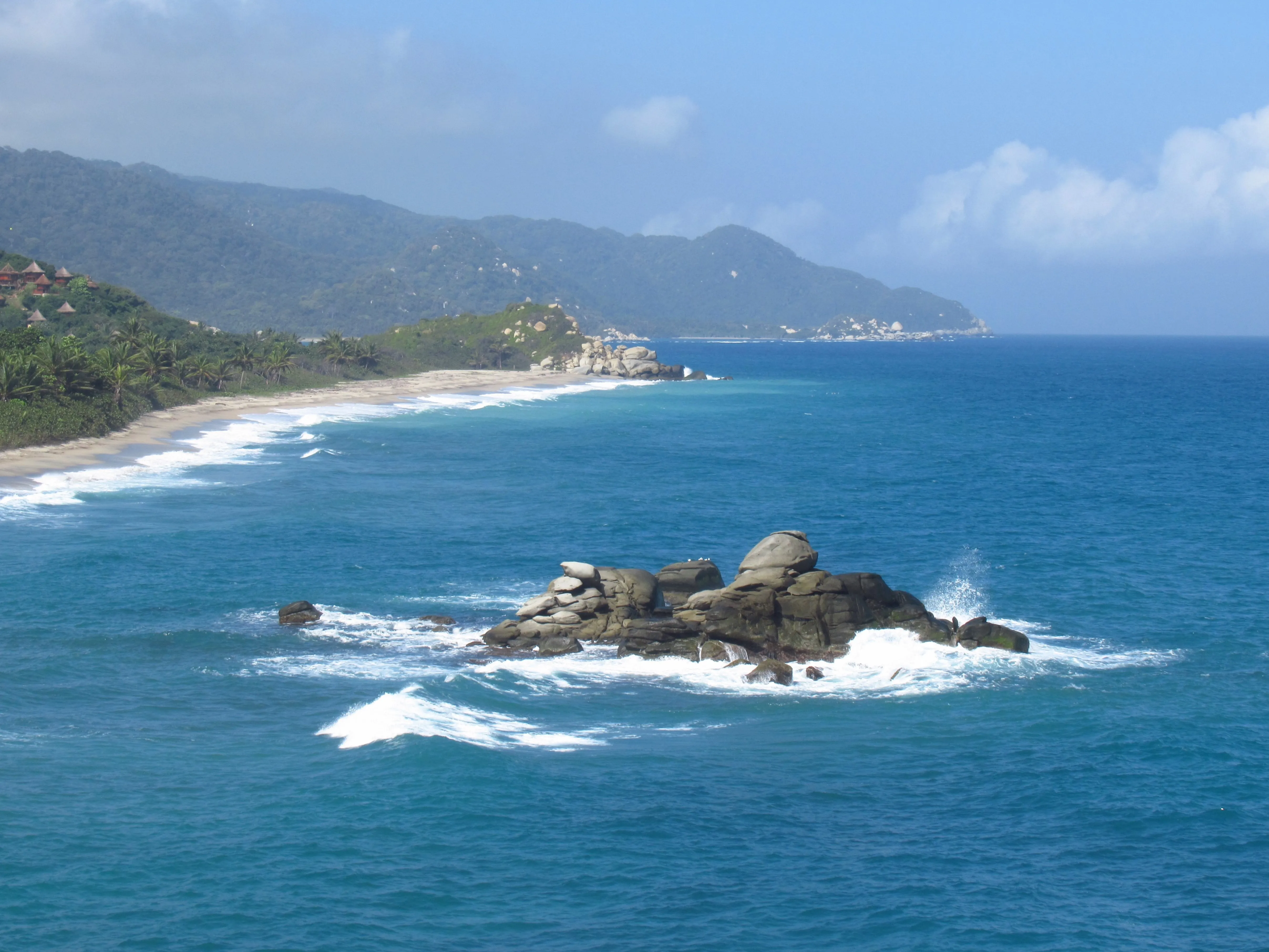
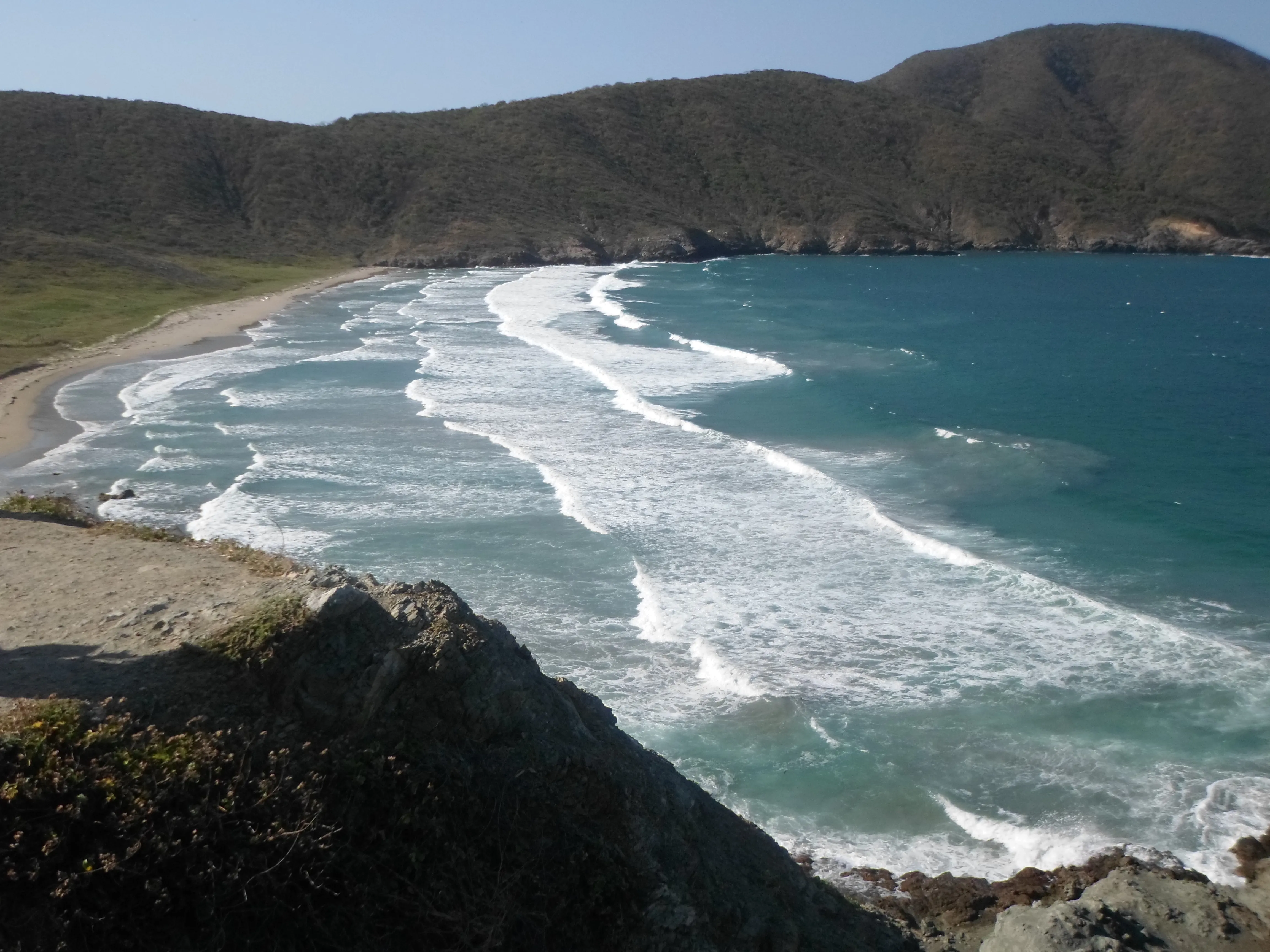
This vertical topography creates a series of steep, jagged headlands, bays, and beaches separated by deep valleys. The coastal geology is characterized by massive round granite boulders, volcanic formations, and coral reefs. Because the mountain spurs drop precipitously into the sea, they form deep underwater trenches close to the shoreline, producing intense rip currents and powerful ocean waves that shape the coastline.
The Mosaic of Microclimates
The combination of wind patterns, topography, and moisture creates highly distinct microclimates within the park’s boundaries:
- Tropical Dry Forest & Desert Scrub (Western Sector): Near Bahía Concha, Neguanje, and Palangana, the mountains block rain-bearing winds. The landscape is arid, characterized by thorny bushes, scrublands, and massive cacti. Rainfall here is minimal.
- Tropical Wet Forest & Rainforest (Eastern Sector): Around El Zaino, Cañaveral, and Arrecifes, the mountains trap the moist trade winds blowing off the Caribbean. This triggers regular orographic precipitation, creating a lush, dense, high-canopy rainforest with high humidity and towering palms.
- Mangrove Swamps & Lagoons: Located where freshwater rivers and streams meet the ocean bays, providing critical wetlands.
Seasonal Weather and Temperature Chart
The climate is tropical, with consistent warmth. The average temperature ranges between 25°C and 30°C (77°F to 86°F) year-round. Humidity is generally high, hovering between 70% and 90%. The park experiences two main seasons:
| Season | Months | Weather Characteristics | Travel Impact |
|---|---|---|---|
| Dry Season | December – April | Clear skies, minimal rain, strong sea breezes, hot days. | Peak tourism, dry hiking paths, high visibility for snorkeling. |
| Mid Season | June – August | Moderate rain (usually short afternoon showers), warm. | Good balance, lush vegetation, moderate tourist crowds. |
| Wet Season | May & Sept – November | Heavy, frequent downpours (especially Oct/Nov), muddy trails, high humidity. | Fewer tourists, challenging hikes, occasional trail closures. |
During the wet season, the Calabazo and Zaino trails can become extremely muddy and slippery, requiring sturdy footwear. Flash floods can occur in mountain rivers, so travelers must follow instructions from park authorities.
Gallery & Visual Highlights
Explore these high-resolution captures of Tayrona National Park relating to this chapter:
-
The Sierra Nevada Mountains Cascading Into the Caribbean Sea:
-
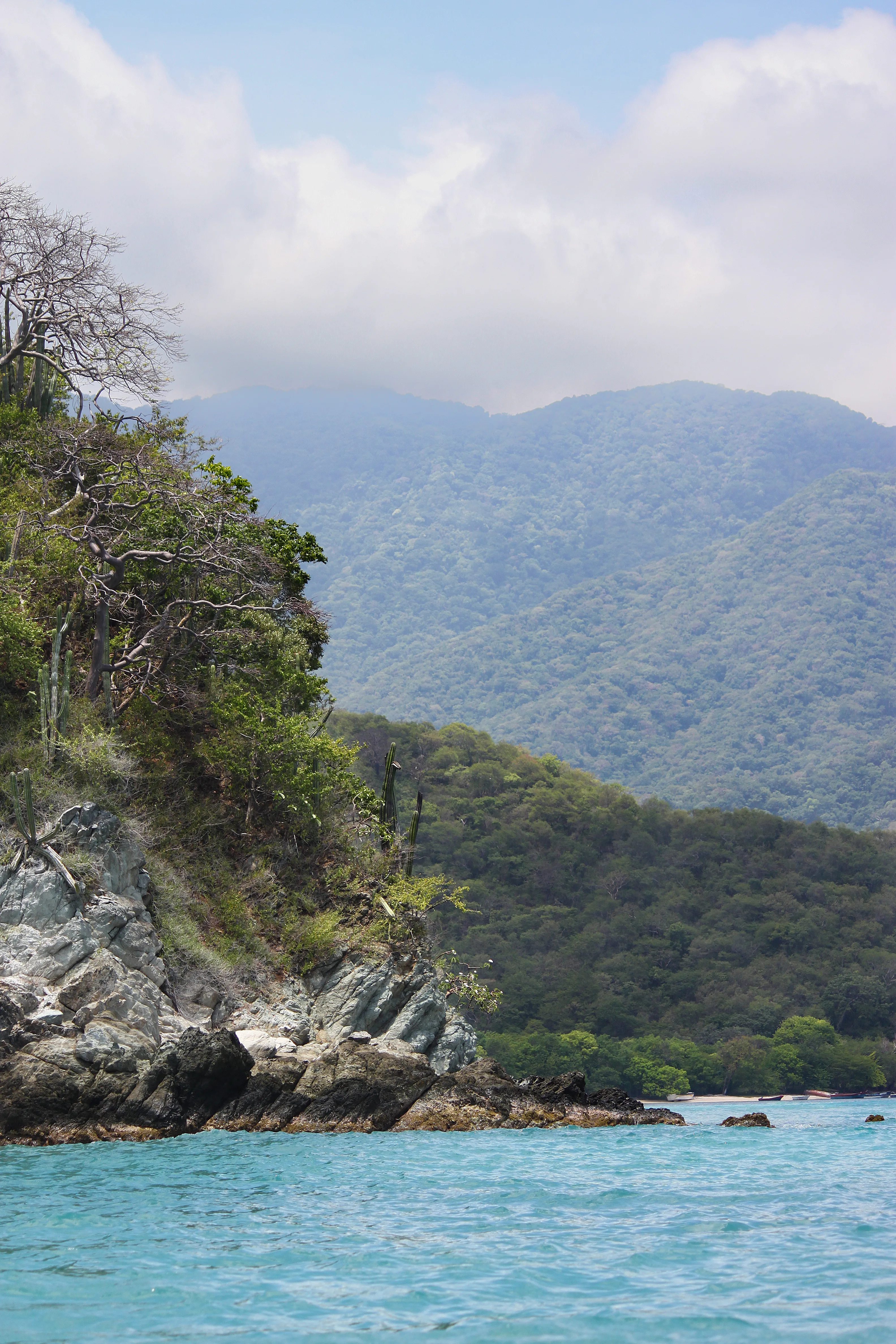
Aerial View of Tayrona’s Deep Coastal Inlets:
-
The Dramatic Coastline of the Seven Waves Bay:
-
Starlit Night Over the Tayrona Coastline: